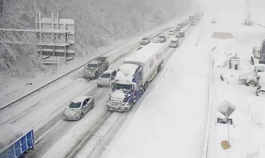
A storm hit the United States today, Sunday (05), with millions of people in the east of the country threatened by blizzards and some localities about to record the heaviest snowfalls in a decade.
According to meteorologists quoted by the French agency AFPAs a result, more than 60 million people are in the path of the storm, which is expected to sweep across the eastern half of the United States with arctic air by Monday and cause severe travel disruption.
The governors of Kentucky, Missouri and Virginia declared a state of emergency due to the storm.
The National Weather Service (NWS) has warned of the risk of black ice, snow and strong winds from western Kansas to the coastal states of Maryland, Delaware and Virginia, covering a swathe of territory 2,400 kilometers long.
"A disruptive winter storm will affect the central plains to the mid-Atlantic during Monday, with heavy snowfall and ice accumulation," said the NWS, quoted by AFP.
The agency warned that regions from northeastern Kansas to north-central Missouri could record "the heaviest snowfall in a decade".
According to scientists, extreme weather events are becoming more frequent and more serious due to man-made climate change.
The first major storm of 2025 has already led to the temporary closure of Kansas City International Airport on Saturday, "due to the rapid accumulation of ice".
Flights resumed after the runways were cleared, according to local authorities.
Some parts of New York and Pennsylvania, in the east of the country, will be confronted with heavy snow from the Great Lakes, which could reach 61 centimetres, according to the NWS.
A blizzard is expected to hit the central plains, making travel "extremely dangerous, with impassable roads and a high risk of motorists being stranded," the weather service warned.
The capital of the United States, Washington, could be covered by a blanket of snow of 12 centimeters or more, with up to 25 centimeters in the surrounding areas.
(Photo DR)


Leave a Reply